Your cart is empty.
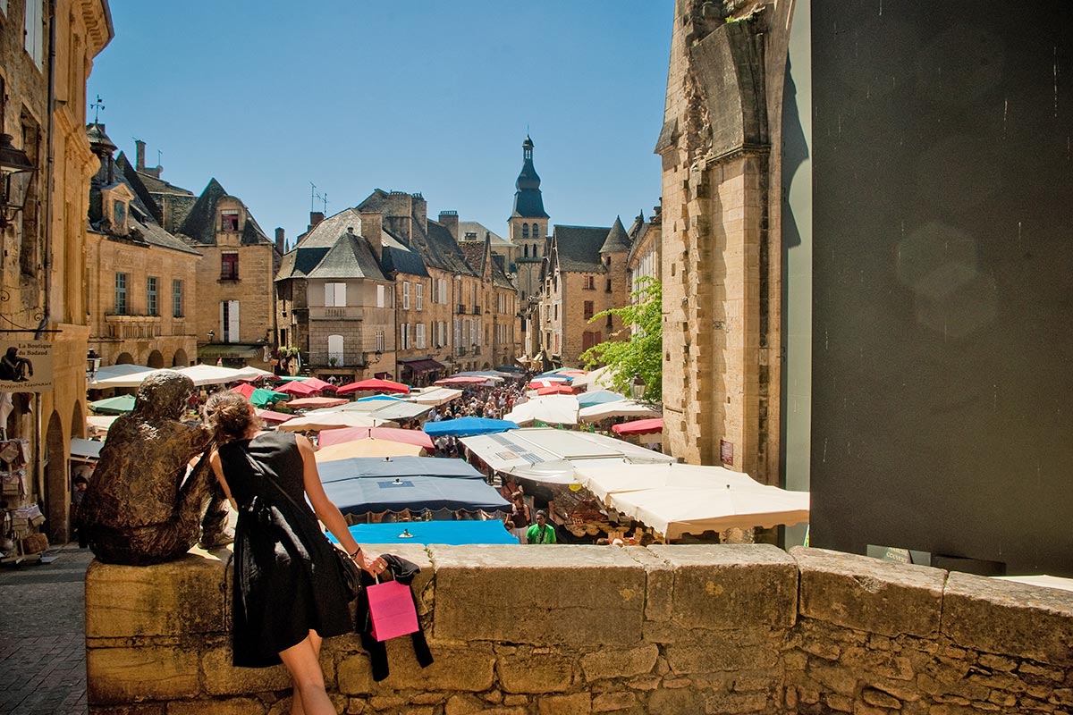
The Dordogne
The Dordogne...
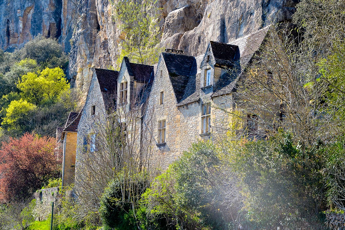
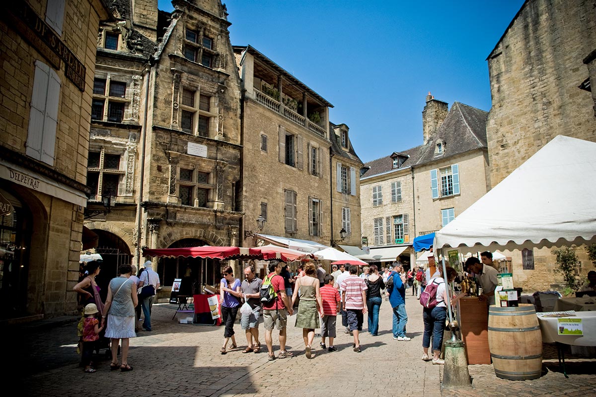
The DORDOGNE, owes its name to the river Dordogne which takes its source at the foot of the Sancy and joins the Garonne at the beak of Ambès, after a course of 472 km. It crosses the department from east to west in its southern part. A department "of Périgueux" or "of Périgord" was created by decision of the Constituent Assembly on 25 January 1790. It was only a month later, on February 26, 1790, that the name Dordogne was retained after the final adoption of the list of French departments. The Dordogne department was formed from almost the entire former province of Périgord (786,048 hectares) and part of the Agenais (99,250 hectares), both of which belonged to the former Guyenne, as well as a portion of the Limousin (25,858 hectares) and the Angoumois (30,250 hectares). Since 1972, when the 22 French regions were created, the Dordogne is attached toAquitaine.
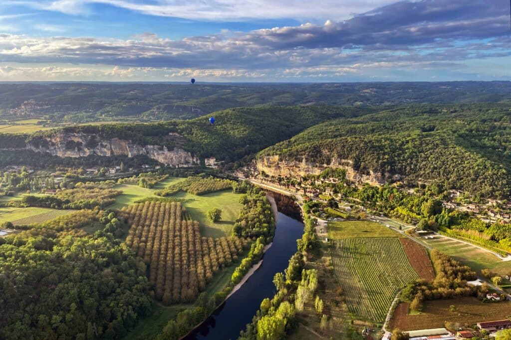
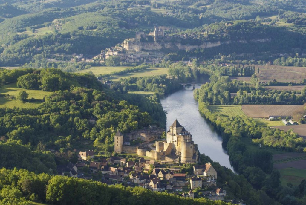
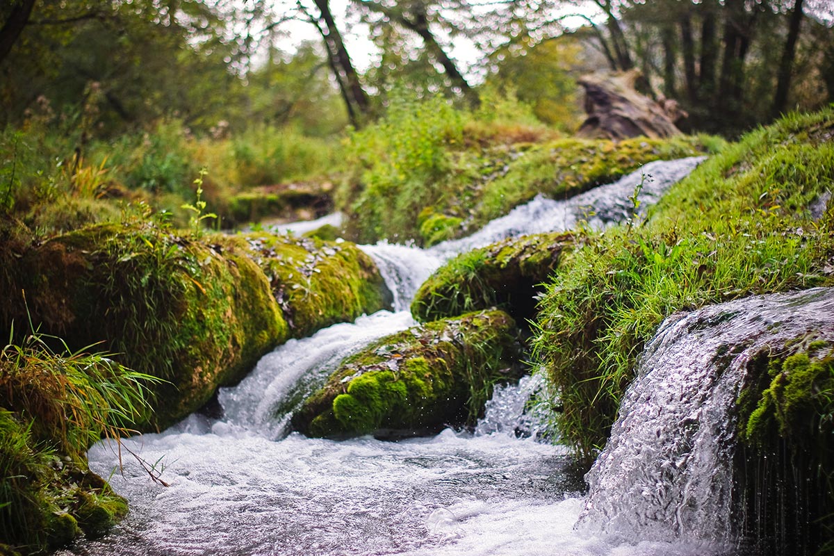
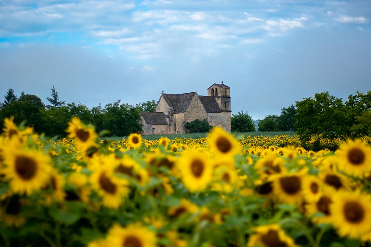
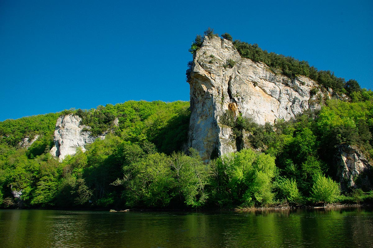
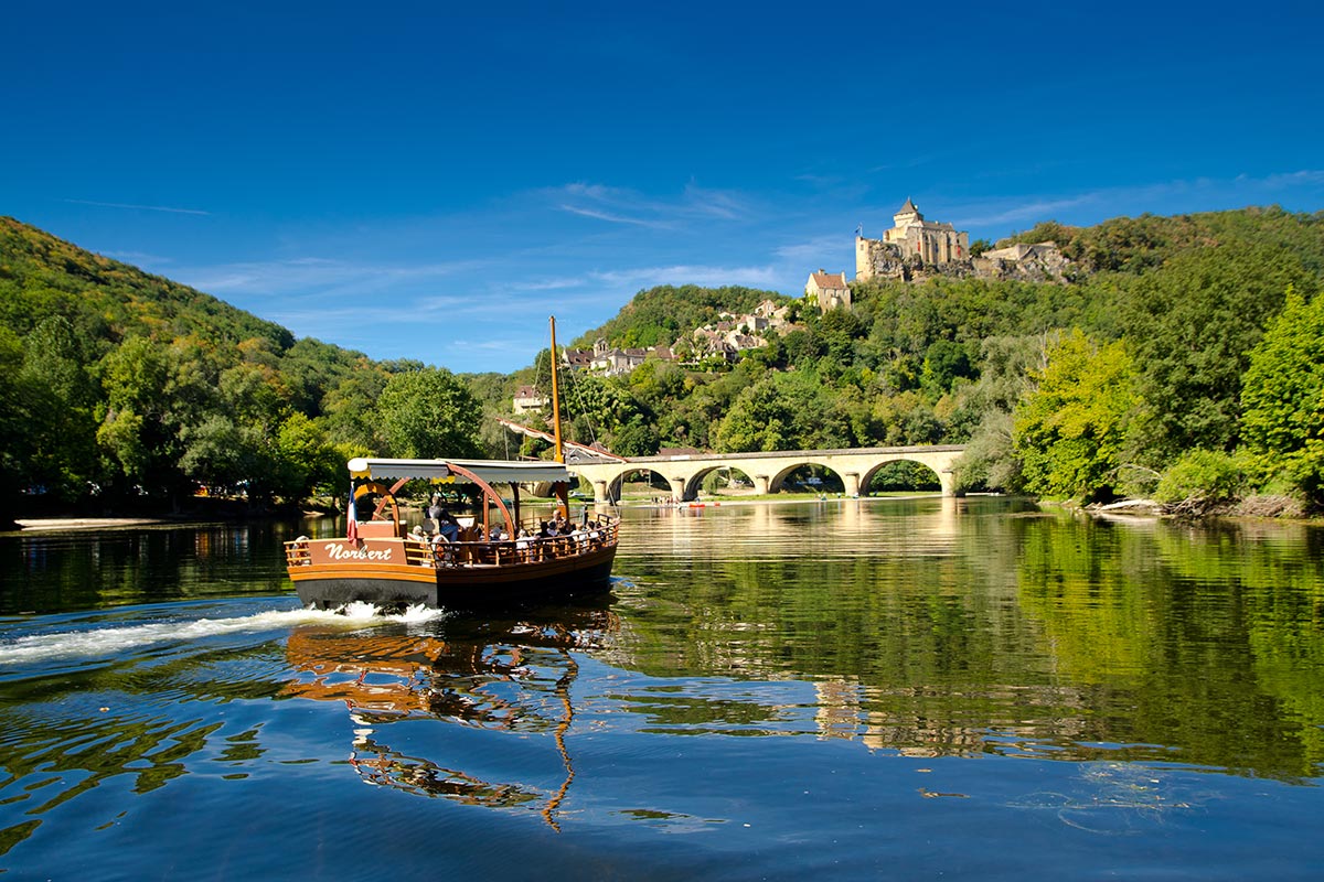
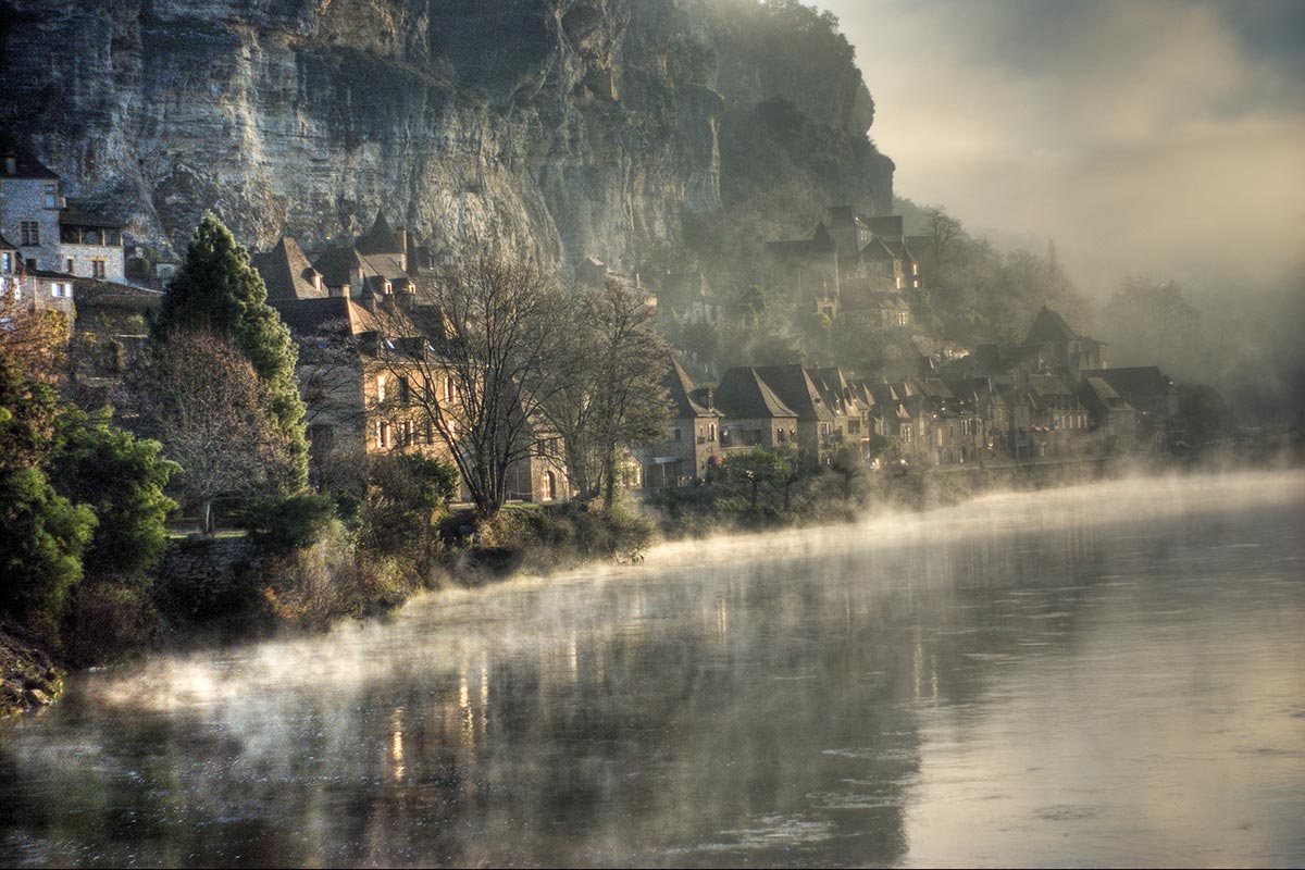
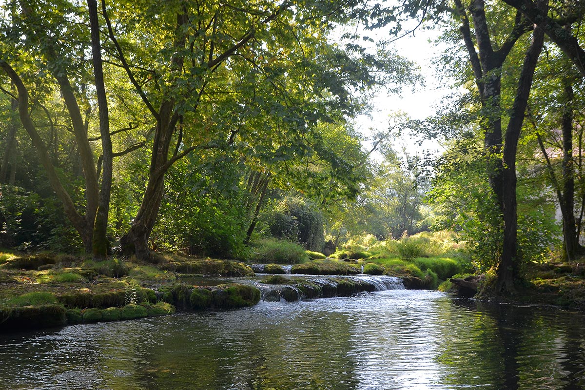
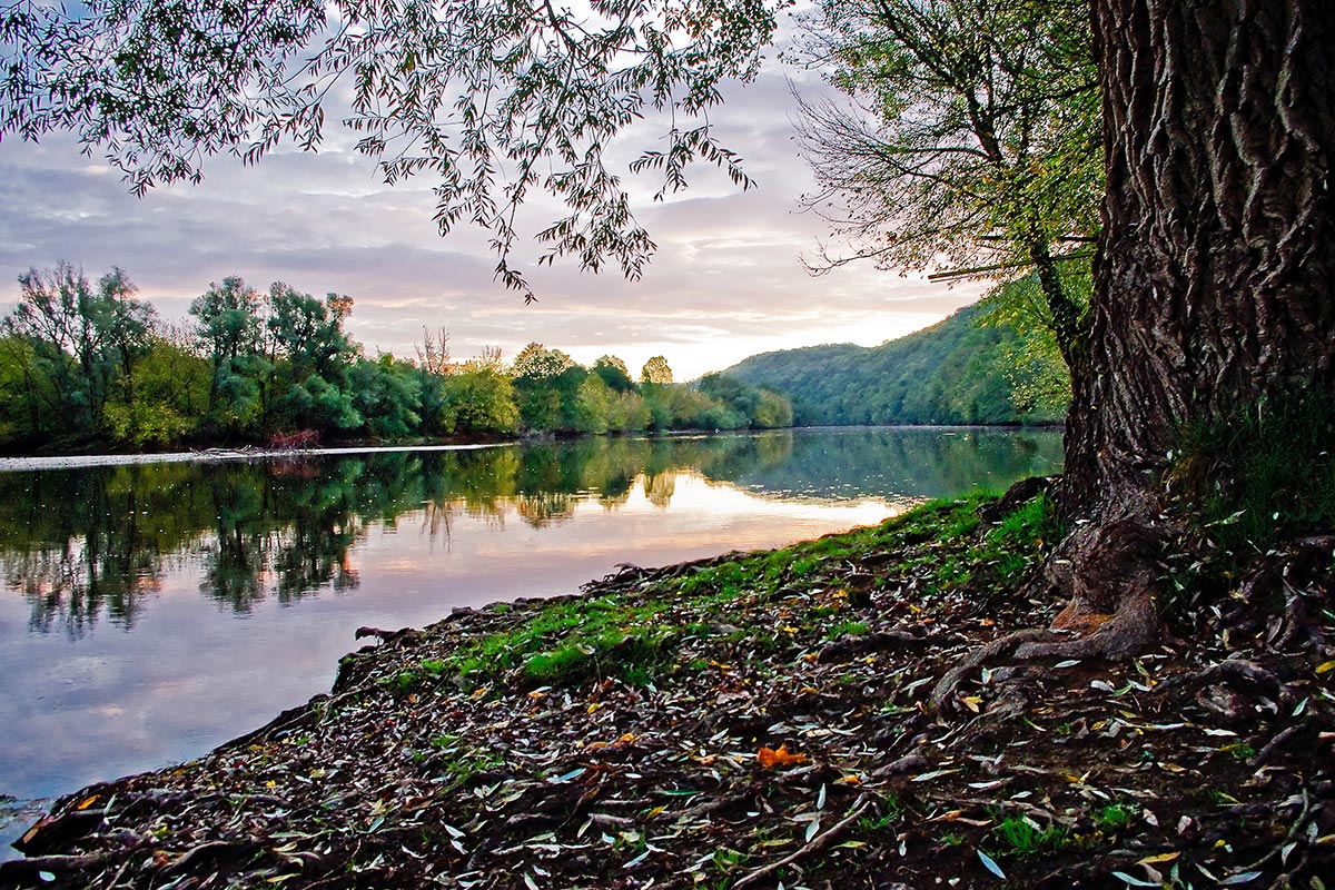
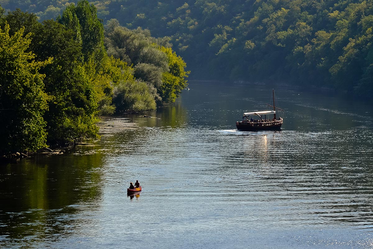
 The Dordogne owes much to the quality of its landscapes and its colors to its dense hydrographic network: it is indeed crossed, from north to south, by the Bandiat, the Dronne, the Isle, the Auvézère, the Dordogne, the Vézère and the Dropt. Only the Dordogne and the Isle (at least up to Périgueux) are navigable.
The Dordogne enjoys an oceanic climate, eminently temperate, thanks to the influence of the Gulf-stream, whose warm waters warm the oceanic side of Europe. However, frequent continental influences lower the winter temperatures.
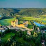
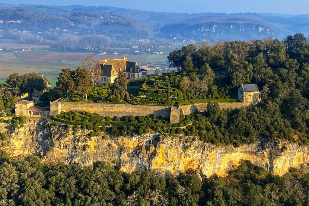
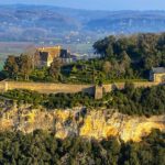
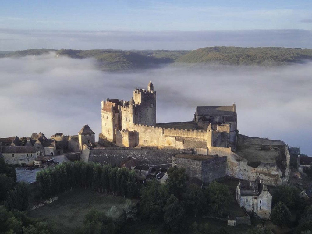
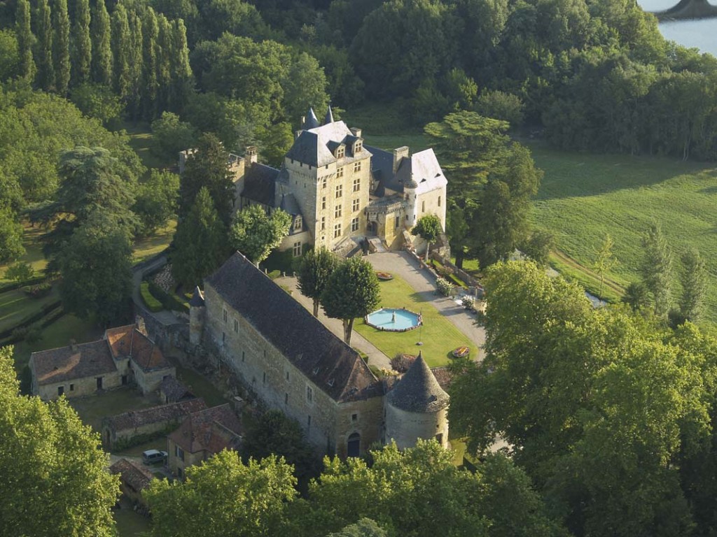
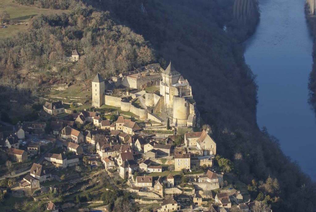
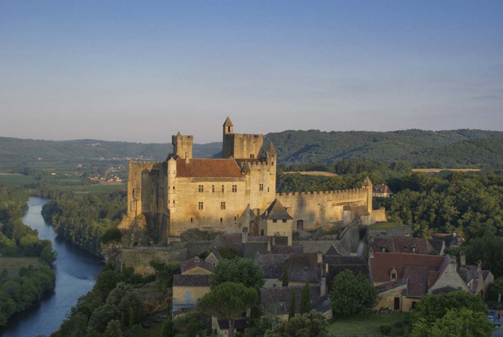
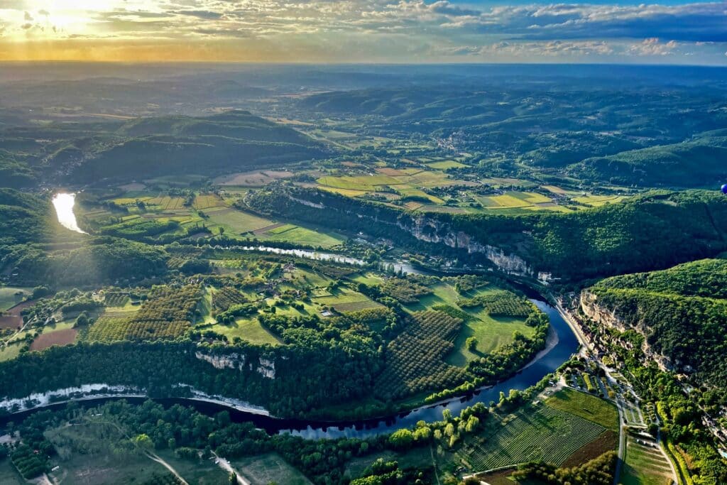
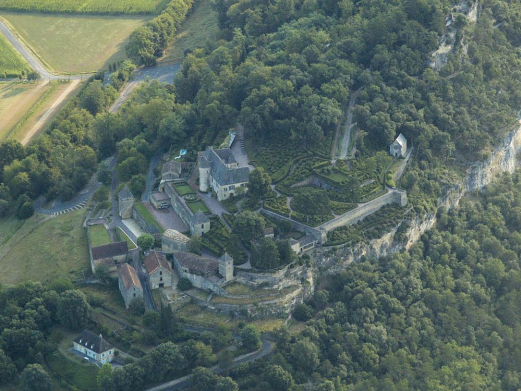
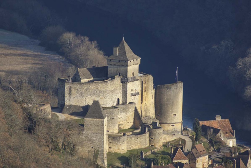
... View from the sky